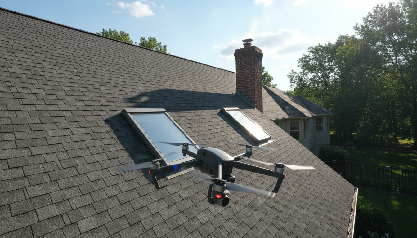
A drone roof inspection identifies high-resolution details like hairline cracks, moisture intrusion, and thermal heat loss that are often invisible to the naked eye. Drones provide a safer and more efficient alternative to ladders by accessing dangerous or steep angles without risking falls or causing damage to roofing materials.
Scaling a high pitch ladder to assess property damage remains one of the most hazardous tasks in facility management and real estate. Beyond the physical danger, manual inspections often fail to identify the subtle structural compromises or hidden moisture pockets that lead to costly long term failures. Hawkline Aerial LLC leverages advanced unmanned systems to replace outdated methods with high resolution precision and data driven insights. This guide explores how thermal imaging exposes trapped moisture, why digital documentation accelerates insurance settlements, and how our specialized approach protects your bottom line. You will learn how drone technology provides comprehensive coverage for complex architecture while eliminating the inherent liabilities of traditional ladder work for residential and commercial properties across Michigan and Ohio.
The Evolution of Residential and Commercial Roof Assessments
For decades, assessing the condition of a roof required a ladder, a harness, and a considerable amount of physical risk. Inspectors had to manually navigate steep pitches and complex valleys, relying solely on what they could see from a limited vantage point. This traditional method often missed subtle defects or required multiple setups to view different facets of the structure, making it a time consuming and often incomplete process.
The rise of unmanned aerial systems has fundamentally changed these assessments. A drone roof inspection utilizes high resolution imaging and thermal imaging sensors to capture comprehensive data without a single boot touching the shingles. This process provides a vantage point that manual climbing simply cannot match, revealing issues like localized heat loss or micro cracks in flashing from angles that are otherwise inaccessible.
At Hawkline Aerial LLC, we ensure that every flight is handled by FAA Part 107 certified pilots. This certification is a critical legal and professional requirement, ensuring that roof and utility infrastructure inspections are conducted safely and according to federal standards. Serving Onsted, Michigan, along with the broader Southeast Michigan and Northwest Ohio regions, we bridge the gap between traditional craftsmanship and modern data precision. This evolution allows for faster turnaround times and more actionable reports for insurance adjusters and roofing contractors alike.
Thermal Imaging: Seeing the Moisture Trapped Beneath the Shingles
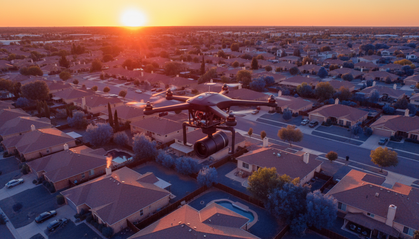
While a visual inspection identifies broken shingles or missing flashing, the most destructive damage often happens out of sight. Thermal imaging allows us to identify subsurface moisture that hasn't yet manifested as a visible leak inside a building. By utilizing high sensitivity FLIR sensors, our drones detect minute temperature variations across the roof deck. This process relies on the thermal mass of water. During a typical Michigan day, the sun heats the roof structure; as the sun sets, dry materials shed that heat rapidly. However, wet insulation trapped beneath the membrane or shingles retains heat much longer, creating a distinct hot spot that is clearly visible in the infrared spectrum.
This capability is a game changer for roof and utility infrastructure inspections, particularly on flat commercial roofs common in Southeast Michigan industrial corridors. On a flat roof, water can migrate far from the original entry point, making it nearly impossible for a manual inspector to find the source of a leak without destructive testing. A drone equipped with thermal sensors can map the entire moisture plume in minutes, providing a precise roadmap for repairs.
Even after heavy rainstorms in Onsted or the surrounding areas, a roof might appear dry on the surface within a few hours. A person on a ladder relies on tactile clues like soft spots or visible mold, but these are symptoms of advanced decay. Thermal data catches the problem in its infancy, pinpointing moisture trapped under the surface long before it causes structural rot or interior ceiling damage. This proactive approach allows property managers and insurance adjusters to address specific problem areas rather than defaulting to a costly full roof replacement due to unknown variables.
Safety and Liability: Eliminating the Risk of Falls
Beyond identifying hidden damage, the method used to collect data determines the overall safety profile of a project. Traditional inspections necessitate physical contact with the structure, which inherently carries significant liability. When an inspector attempts to navigate a steep 12/12 pitch roof, the margin for error is razor thin. A single slip can result in catastrophic injury, leading to complex workers compensation claims and protracted legal disputes. By utilizing a drone roof inspection, the pilot remains safely on the ground, removing the human element from the hazard zone entirely.
This shift in methodology eliminates the logistical burden of setting up walkboards, heavy scaffolding, or fall protection systems. These traditional tools, while necessary for manual climbing, often risk damaging the property they are meant to protect. Heavy extension ladders can dent gutters, and specialized roofing boots can scuff shingles or crack aged tiles. A drone avoids these physical touchpoints altogether during roof and utility infrastructure inspections, preserving the integrity of the roof surface while gathering high resolution data.
For roofing contractors and insurance adjusters in Onsted and the surrounding region, managing risk is as vital as the data collected. Hawkline Aerial LLC is fully insured and operated by FAA Part 107 certified pilots, ensuring every project meets rigorous safety standards. This professional approach provides a layer of liability protection that manual inspections cannot offer, safeguarding both the personnel involved and the property owner's assets.
Comprehensive Coverage for Steep Pitches and Complex Architecture
Modern architectural designs often prioritize aesthetics over accessibility. For a human inspector, a steep 12/12 pitch or a multi-gabled roof with numerous dormers presents a significant physical barrier. A drone roof inspection bypasses these obstacles by utilizing high-torque motors and stabilization flight controllers to hover precisely near chimneys, ornate valleys, and steep peaks that are difficult to traverse manually.
The true advantage lies in the use of 4K high resolution sensors with advanced zoom capabilities. This technology allows the pilot to maintain a safe standoff distance while capturing granular detail that a naked eye might miss from a ladder. We can identify specific indicators of degradation such as shingle granule loss, rusted flashing around ventilation pipes, or hairline cracks in tiles. By capturing these details from the air, Hawkline Aerial LLC provides a level of scrutiny that covers every square inch of the structure, including the most remote dormer windows or hidden valleys.
This non-contact method also preserves the property. Walking on a roof, particularly one with aged asphalt shingles or delicate slate, can cause scuffing or mechanical stress that inadvertently leads to new leaks. By utilizing FAA Part 107 certified pilots and professional grade optics, we provide roof and utility infrastructure inspections that are as thorough as they are non-invasive. In the diverse housing landscapes of Southeast Michigan and Northwest Ohio, where complex rooflines are common, this level of detail is necessary to ensure no defect is overlooked during a routine assessment or storm damage evaluation.
How Digital Documentation Speeds Up Insurance Claims
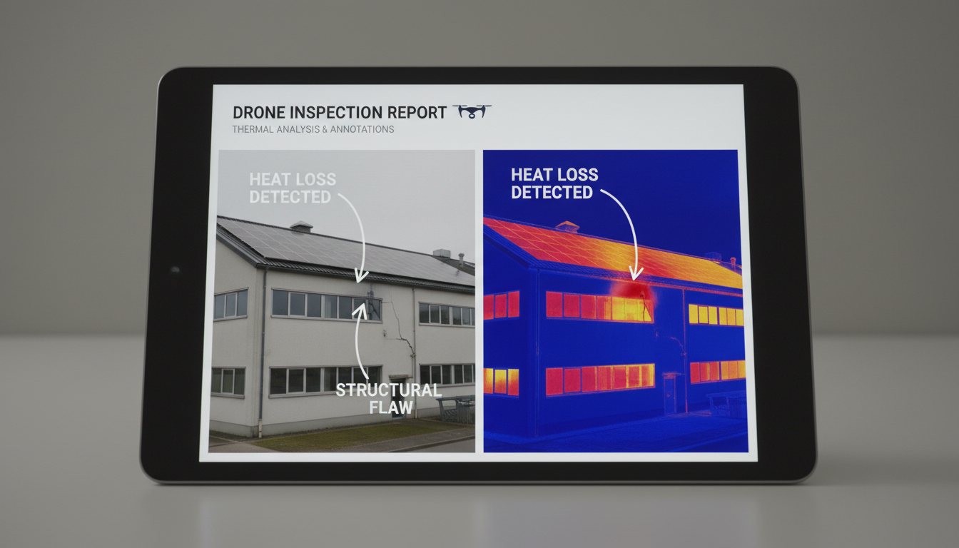
Providing comprehensive coverage on a complex roof is only half the battle; the utility of that data depends on how it is presented to an insurance carrier. A professional drone roof inspection transforms raw visual data into a structured digital record. Every image captured by our FAA Part 107 certified pilots is geotagged, providing precise GPS coordinates for every identified defect. This level of precision eliminates the ambiguity often found in traditional assessments, where a single handwritten note might vaguely reference a leak near the chimney.
For insurance adjusters, high resolution imagery and thermal imaging overlays provide undeniable proof of damage. When a report includes a side-by-side comparison of a standard visual photo and a thermal map showing trapped moisture, the evidence is objective rather than subjective. This clarity reduces the back and forth communication that often stalls claims, as the adjuster has all the necessary visual context to justify a repair or replacement. In the aftermath of the severe wind or hail storms common in Southeast Michigan and Northwest Ohio, this efficiency is critical.
Speed of turnaround is a primary advantage of the digital workflow. While a traditional inspector might take days to finalize a handwritten report and upload photos, data from roof and utility infrastructure inspections can be processed and delivered as a professional digital report almost immediately. For homeowners in Onsted and the surrounding regions, this accelerated timeline means faster approvals and quicker repairs, mitigating the risk of further structural damage while waiting for a claim to process.
Efficiency for Large Scale Property Management and Utilities
This speed of digital delivery scales exponentially when applied to commercial property management. For managers overseeing massive assets, such as a 50,000 square foot warehouse in the industrial corridors along the Michigan and Ohio border, manual assessments are a significant logistical bottleneck. A drone roof inspection can cover this entire expanse in a fraction of the time, capturing overlapping high resolution imagery to create a comprehensive digital map of the site. This efficiency is particularly valuable for large scale solar arrays, where thermal sensors quickly pinpoint individual malfunctioning cells that would take a technician days to identify using handheld equipment.
The same principles of speed and precision apply to roof and utility infrastructure inspections. In the rural and industrial landscapes common to our region, utility companies must monitor miles of lines and high voltage structures. Drones allow for the inspection of insulators, crossarms, and tall chimney stacks without requiring personnel to climb or necessitating costly service interruptions. By utilizing powerful zoom lenses, our FAA Part 107 certified pilots capture detailed evidence of corrosion or structural fatigue from a safe standoff distance. This capability allows utility providers and plant managers to maintain continuous operations while receiving the actionable data needed for long term maintenance and regulatory compliance.
Selecting a Professional Drone Service in Michigan and Ohio
Selecting a provider for a drone roof inspection requires vetting technical credentials alongside flight experience. Prioritize FAA Part 107 certified pilots to ensure the operation meets federal legal standards and carries professional insurance. High quality data also hinges on equipment; a service should offer thermal imaging to detect moisture pockets caused by heavy Michigan snow loads or Lake Erie wind driven rain. Hawkline Aerial LLC applies specific local knowledge of the Southeast Michigan climate to every mission. This professional approach delivers the objective, high resolution evidence needed for roof and utility infrastructure inspections, providing a level of reliability that hobbyist flyers cannot match.